Views in the Peaks
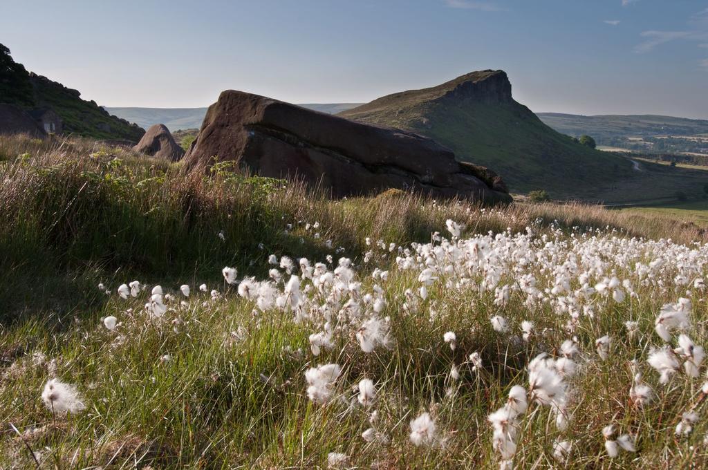
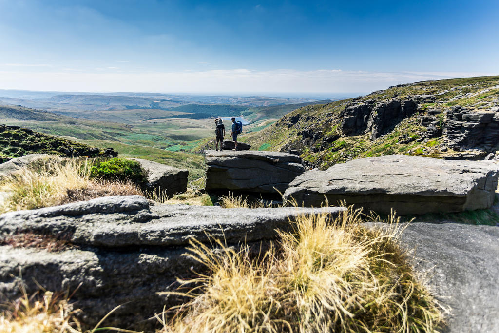
The Peak District is synonymous with expansive landscapes and breathtaking scenery. From the open moorland and gritstone formations of the Dark Peak to the limestone plateaux and deep gorges of the White Peak not to mention the rolling farmland, wooded valleys and picturesque villages that pepper our little corner of England.
We are certainly spoiled for choice when it comes to a cracking view. Here are our favourite walks with stunning vistas and viewpoints along the way.
Surprise View
Surprise View Car Park, A6187, Grindleford, Derbyshire, S32 1DA
Map reference: SK 252 801
Ordnance Survey: Dark Peak Area OL1 and White Peak Area OL24
Refreshments: there is an ice cream van in the car park
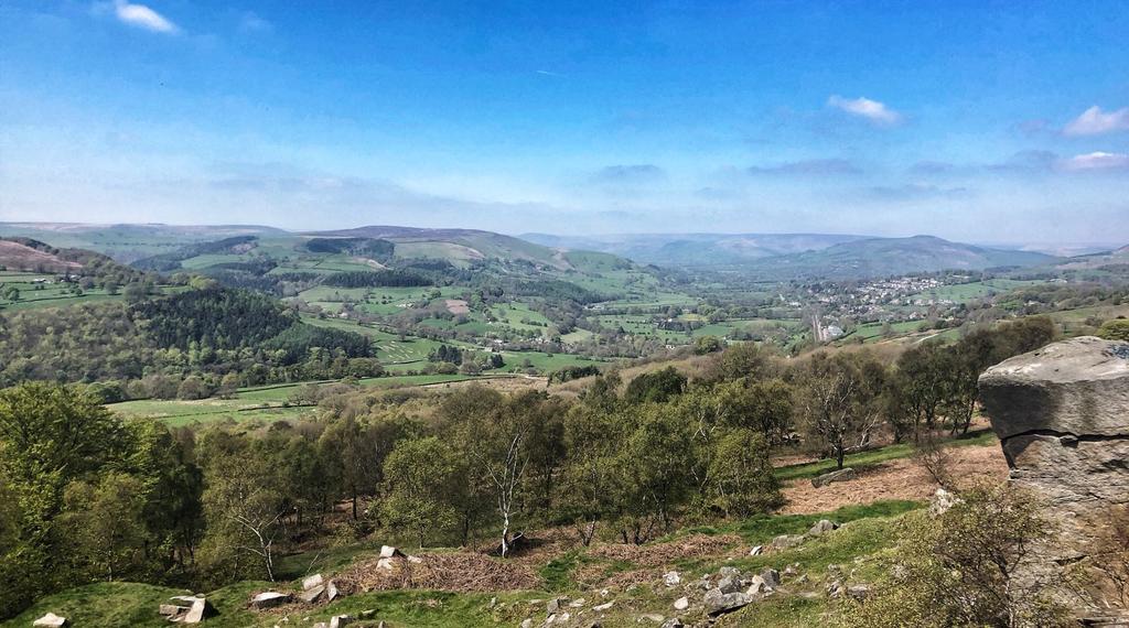
Surprise View sits high above Hathersage and is well-known for being one of the best viewpoints in the Peak District and a great starting point for several walks. Head uphill in a northerly direction towards the back of the pay-and-display car park and take one of two paths up the hill where you’ll find the curiously shaped Mother Cap stone, and further up the Over Owler Tor stones. From here there are spectacular views in every direction.
Alternatively, cross the main road and head towards the sharp bend on the right, the Surprise View. From here you get a great vista down the Hope Valley. Duck below the rocks to explore Lawrence field and find a good and convenient picnic spot.
Surprise View is also one of the official ‘Dark Skies’ stargazing spots, so if it’s a clear night you could enjoy the wonderfully bright stars in the Peak District night skies.
Curbar Gap
Clodhall Lane, Curbar S32 3YR
Map reference: SK 261747
Ordnance Survey: Explorer OL24, Landranger 119
Refreshments: Jolly’s van in the car park at weekends for great cakes and hot drinks.
View on All Trails Map
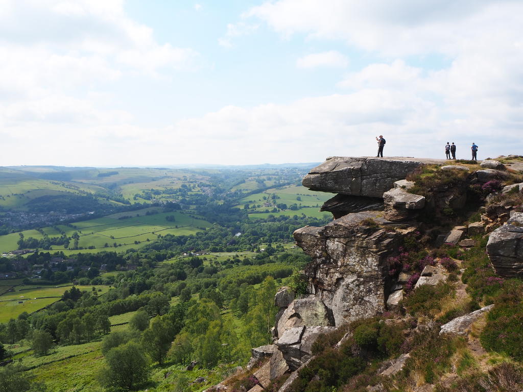
Curbar Edge - and Froggatt Edge and Baslow Edge, which lead on from it on either side - is a gritstone escarpment with fantastic views across the Derwent Valley, including the Chatsworth Estate. You can clearly see the deliberate tree planting of Capability Brown’s 1760s design versus the natural order of the surrounding landscape. You don’t have to stray far from the carpark to be rewarded, it is a great place to take photos. There is a pay car park at the top but you can also park at certain spots on the road on the way up. It can get very busy at peak times. There is an ice-cream van in the summer and a wonderful French vintage refreshment van, Jolly’s, is open at weekends throughout the year serving great coffee, cakes and homemade dog biscuits.
Monsal Head
Ashford Lane, Monsal Head DE45 1NL
Map reference: SK 185715
Ordnance Survey: Ordnance Survey: Explorer OL24, Landranger 119
Refreshments: Monsal Head Hotel, which sits directly above Monsal Dale; Hobb’s Café is next to it for tea and cakes. And there’s a seasonal ice cream van in the short-stay car park too.
View on All Trails Map
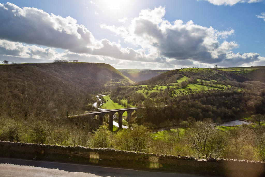
This is one of the most photographed locations in the Peak District and you can easily understand why. This view packs a lot in: the River Wye snaking along the narrow dale, handsome Netherdale Farm in the valley, the wooded slopes of Fin Cop and rocky outcrops of Hob’s House Cave, completed with a glimpse of the old Headstone railway viaduct.
You can explore the dale on foot and picnic further down the river to the left near the weir. The Monsal Trail crosses the disused railway viaduct providing a fantastic vantage point above the riverside meadows. There is a pay-and-display car park behind the Monsal Head Hotel and short stay parking for a few cars in front.
The Roaches
Roach Road, Upper Hulme, Leek, Derbyshire ST13 8UA
Map reference: SK 005621
Ordnance Survey: Explorer OL24, Landranger 118
Refreshments: Roaches Tea Rooms a little further along Roach Road
View on All Trails Map
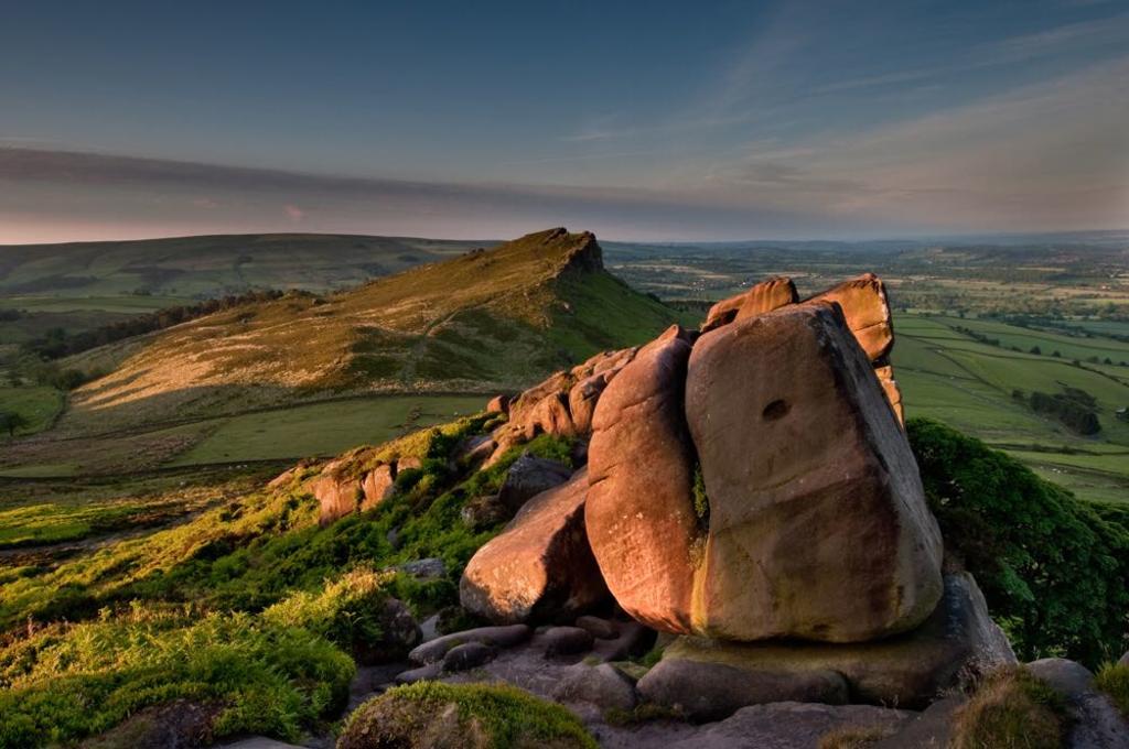
The Roaches seem to rise out of nowhere. The magnificent rocky ridges and gritstone cliffs are spectacular to look at and, on a clear day, provide panoramic views stretching as far as Snowdon in Wales. There is a small pool at the top called Doxey Pool inhabited, so legend has it, by a water spirit.
The area has been managed by Staffordshire Wildlife Trust since 2013.
Whether you’re an eager climber, an enthusiastic walker or a keen naturalist, the Roaches offers something for everyone. Its magnificent soaring rock faces and wild, heather-covered hillsides draw tens of thousands of visitors each year, and make it one of Staffordshire’s most photographed landscapes.
As well as being a popular place for recreation, the Roaches is an amazing place for wildlife. In fact, the area is protected both nationally and internationally for its wildlife and rare wild habitats. Designated as a Site of Special Scientific Interest (SSSI) and forming part of the South Pennine Moor Special Area for Conservation (SAC) and Special Protection Area, the Roaches consists of numerous internationally important habitats including blanket bog and upland moorland. There are also many specialist breeding and wintering birds such as curlew, red grouse and tree pipit. Peregrines have bred on the Roaches most years since 2008.
Mam Tor
Sparrowpit, Peak Forest S33 8WA
Map reference: SK 127836
Ordnance Survey: Ordnance Survey: Explorer OL1, Landranger 110
Refreshments: nearest cafés are in Castleton
View on All Trails Map
The landscape surrounding Mam Tor is breathtaking. Mam Tor and its neighbouring ridges dominate and separate the Hope Valley to the south and Edale to the north. Park up at the Mam Nick pay-and-display car park and cover the short, steepish walk to the top. It is a well-trodden and clearly marked path and gives extraordinary 360 degree views even from half way up. There are great views down the Hope Valley towards the strangely compelling Hope Cement Works, the UK’s largest, set amongst hills and fields of green. But our favourite is the view into Edale to the north. The panorama all the way from Kinder Scout to Stanage Edge is stunning.
Black Rocks Near Cromford
Cromford, Wirksworth, Matlock DE4 4 GT
Map reference: Google Maps
Refreshments: nearest café is in the Car Park at Black Rocks. Park is paid.
Black Rocks is a great place for families to visit. Technically it is out of the Peak District National Park, but it's one of our favourites. Situated overlooking Cromford near Wirksworth and Middleton Top its an ideal location for those that don't want to walk too far to reach a fantastic view. It has some interesting habitats for nature as it sits on the boundary between limestone and gritstone.
The ideal place to stay to visit Black Rocks is Knockerdown Cottages, our sister site, which is based a short car ride away near Carsington Reservoir.
Published on May 18, 2021 in peak district
